

River levels of the Mellte make interesting reading and they fluctuate readily at any change in precipitation.
River level data for project Baseline is recorded by the Environment agency river levels data for the Mellte.
How to record data:
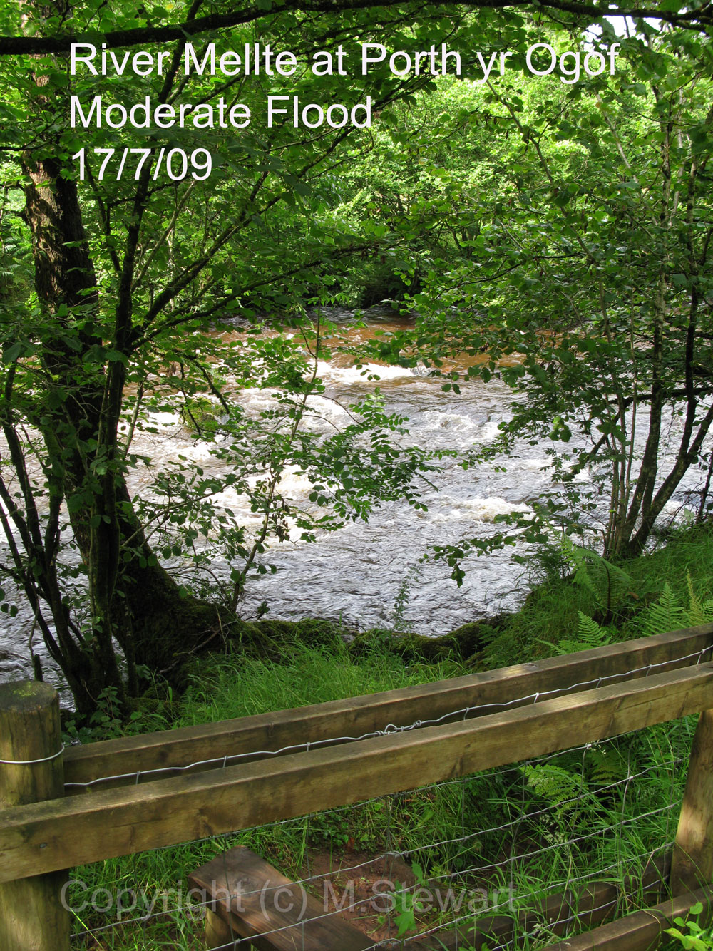
Photo: A photo should be taken (see left) which gives a good image of river levels on the day the observations were taken. In moderate to high water, please stay behind the fence and take the photo from or very near the stile.
Project Baseline Observers should make a note of this data on their visit and combine it with a photograph taken of the river, from behind the stile just on the path by the bench at the bottom of the steps. The photo should be taken looking slightly upstream.
 Temperature:
First, please make a note of the instrument you use for temperature readings.
A diver's D-Timer or computer is fine.
Tie the instrument to some string and weight it down.
Leave in the river water for 5 minutes and take a reading of the water temperature immediately on removal.
Conditions:
Make a note of any flora or fauna in the immediate area. Also make a note of any litter in the immediate area (path and bench)